Implementation of precision agriculture elements based at Firm Altai LLP
Implementation of precision agriculture elements based at Firm Altai LLP
At the end of the 2021 season, a cooperation agreement was signed between the institute and Firm Altai LLP (dated August 2, 2021).
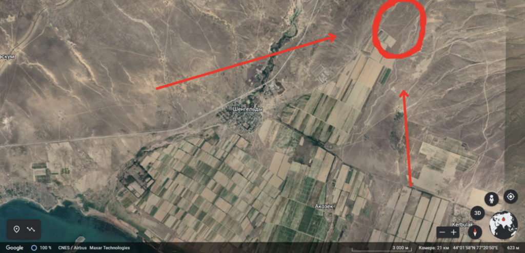
Firm Altai LLP is a farming enterprise located in the Almaty region, 7 km northeast of the Shingeldy settlement. The total land area is (to be specified) hectares. The production is focused on vegetable crops such as onion, potato, and carrot. In the 2022 season, safflower, sorghum, and peas were also sown.
The area is characterized by strong winds, and the local soil has a low organic matter content. It should also be noted that the farm is located near military communication facilities, which imposes certain limitations on communication systems, including GSM and GPS operation.
During periods of military communication activity, signal disruptions and temporary loss of connection with navigation satellites are observed.
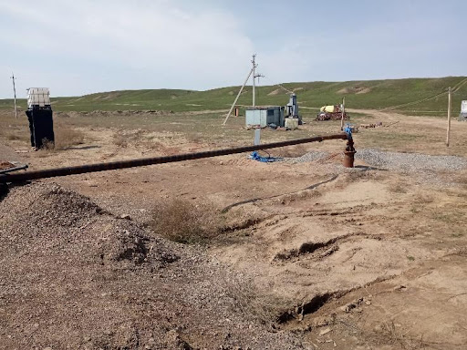
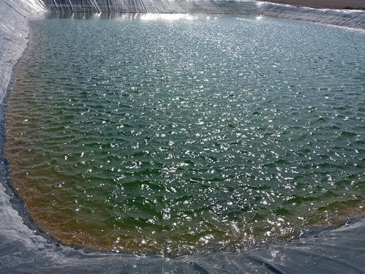
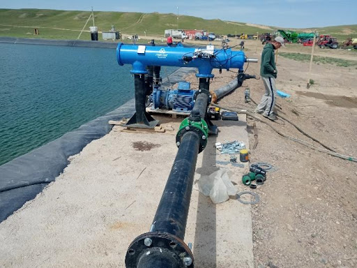
The site includes a reservoir with a capacity of about 30,000 cubic meters and a well supplying it. Irrigation is carried out using a drip system, and root fertilization is also applied through the irrigation system.
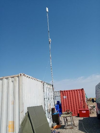
Система
Скважина
Набор воды со скважины
Machine and tractor fleet
At the beginning of the season, the farm purchased equipment for parallel autonomous tractor guidance (2 sets) from the navigation systems manufacturer Trimble. With our direct participation, the navigation systems were configured, calibrated, and test operations were carried out. Key setup processes were recorded on video and provided to the machine operators and the team leader.
During the same period, a weather station and soil sensors from the manufacturer Kaipos were purchased.
ПОЧВЕННЫЙ ДАТЧИК KAIPOS
МЕТЕОСТАНЦИЯ ДЛЯ АГРОНОМИЧЕСКОГО ПРОГНОЗА ПОГОДЫ KAIPOS
MЕТЕОСТАНЦИЯ ДЛЯ АГРОНОМИЧЕСКОГО ПРОГНОЗА ПОГОДЫ KAIPOS
ПОЧВЕННЫЙ ДАТЧИК
Remote sensing of crops
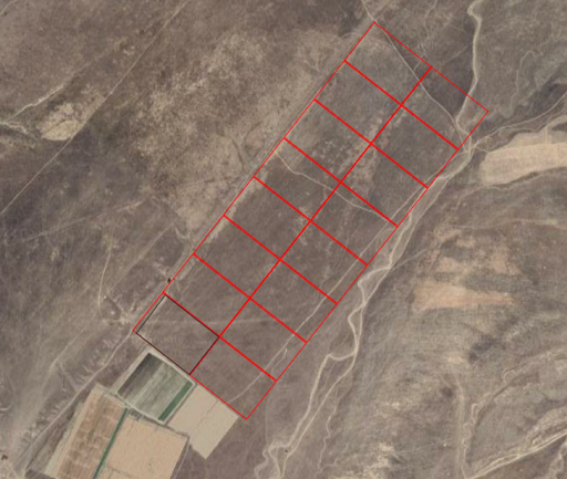
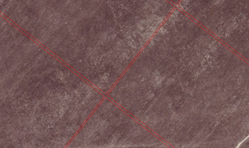
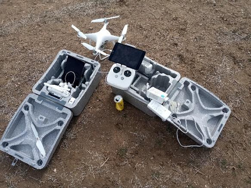
Drones from DJI, Phantom series, were used to create field maps and conduct remote sensing of crops. The farm areas were delineated using the geographic information system QGIS, taking into account access lanes between plots and turning areas for machinery.
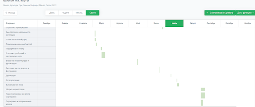
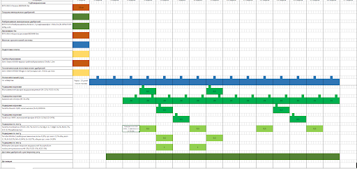
Implementation of the FMIS system
In collaboration with the farm agronomist, technological maps for key crops (onion – 2 varieties, potato – 1 variety, carrot – 1 variety) were developed within the FMIS system, and printed work schedules were also prepared. Large-format (A1) printed materials were designed and produced to provide field personnel with clear visual guidance on planned operations. The format allows for manual notes and corrections directly on paper.
During further use of the system, improvements will be introduced to the field boundary mapping functionality, including enhanced tools for working with geometric shapes and for designing roads, access lanes, field boundaries, and irrigation infrastructure. Additional functionality will be implemented for automatic generation of large-format printed materials.